Lavergne, la randonnée de la Dourdenne
Itinéraires touristiques
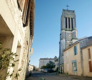
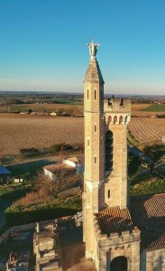
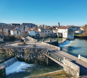
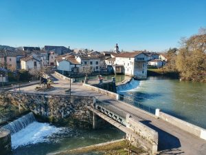
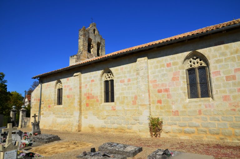
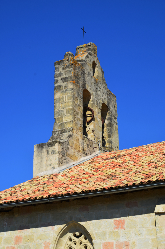
This long hike covers both sides of the Dourdenne, a tributary of the Dropt. Wells, dovecotes, windmill, houses of character, the churches of St-Maxence and La Mothe-d'Alès and the eponymous castle will enhance your outing.
47800 LAVERGNE
GPS : 44.5916481 | 0.39713218
GPS : 44.5916481 | 0.39713218
CDT - Service Randonnée - Phone : +33 5 53 66 14 14
CDT - Service Randonnée - randonnee@tourisme-lotetgaronne.com
CDT - Service Randonnée - randonnee@tourisme-lotetgaronne.com
Route : on foot Difficult 3h50
Route : on horseback Difficult 2h30
Route : by mountain bike Difficult 1h50